Friday, December 26, 2014

Guest Blogging!

Hollywood Beach (foreground) and the Fiero Marine Life Center (background). Photo courtesy of http://portangelesdailyphoto.blogspot.com/

So it surely appears that I've been allowing my own blog to lapse...this is my first post in the month of December!

But I've been guest-blogging up a storm! As part of a new effort to post monthly "Marine Science Topics of the Month" on the Feiro Marine Life Center (I serve on their board and also chair the Education and Research committee for the organization) blog, I authored two pieces in the past month or so: One on some observations of octopus at the mouth of the Elwha River, and another on the seasonal pattern of beach wrack on Hollywood Beach, adjacent to the marine life center. Enjoy!

Tuesday, November 25, 2014

The night-time intertidal at Freshwater Bay

A juvenile Octopus doeflini found foraging in the intertidal by one of my Oceanography class students

This is the third year in a row that I've offered a special night-time tide-pooling field trip to the students from my Peninsula College Introduction to Oceanography class. We had a great trip last night to Freshwater Bay, slipping it in between rain squalls. The wonderful thing about the winter night-time low tides is that you can see so much more, since organisms are not stressed by high temperatures and/or dessication. I was struck by two things:

1) Octopi! We saw two...the juvenile in the video above, which was out and about in the lower intertidal, and this one sheltering under a boulder:

2) The number and diversity of juveniles invertebrates and eggs that we observed. For this time of year it struck me as pretty out there. We say juvenile Hexactis, sharp-nosed crab, mollusc eggs of some kind, and this (dead) female Red Rock crab carrying an egg mass:

A few other images from the night:

The gunnels were plentiful...but I'm horrible at ID in the Pholidae family, so I'm not even going to try...

Similarly...

One of at least three Keyhole Limpets (Diadora aspera) we saw - all of them out in places they would never be in the summer during a low-tide. On this one we also were able to observe the commensal scale worm Arctonoe vittata

My favorite! The Northern Clingfish (Gobiesox maeandricus). Check out this interesting (and mildly disturbing) piece on its unique abilities.

and last, but not least, a great profusion of porcelain crabs (Petrolisthes sp.)

Friday, November 21, 2014

Marine Debris Museum

I had an opportunity this week to visit John Andersen's incredible Marine Debris Museum in Forks, Washington. John is in the process of upgrading his museum and curating his huge collection, and plans to open this upcoming summer under general hours (currently he will show the collection via prior arrangement). Here are a few photos...I am sure you will agree with me that for any Washington-based coast nerd out there this museum is a required pilgrimage.

Tuesday, October 28, 2014

Daily averaging of coastal time lapse photos

Time lapse of the toe of the Ledgewood Slide on Whidbey Island. Photos collected every 30 minutes between April and June 2013

I've posted numerous times about the value of photography for understanding coastal systems, and in particular like time lapse photography. Time lapses of the coast are invariably interesting and contain lots of information, but one thing that has always bothered me about time lapse on the coast, though, are the problems associated with both changing lighting throughout the day, as well as changing water level. Both make it very hard for the eye to track the morphological change that is often my interest in collecting the photos in the first place.

The video above, composed of time lapse photos collected every 30 minutes, provides a great example. The interest here was in understanding when, and how much the toe of a coastal bluff failure on Whidbey Island, eroded over the year after the slide. In this case there is observable change, but its hard to track with the eye due to changing light and water level. Here is another example:

Time lapse of Hollywood Beach, Port Angeles, composed of photos collected every hour between December 2013 and June 2014

In this case I was interested in understanding the timing of the on-shore movement of the big piles of Ulva lactuca that appear on Hollywood Beach (in Port Angeles, Washington) every winter. Here, the problem isn't so much lighting, but the length of the video is a bit imposing.

So I took a cue from Andy Ritchie at Olympic National Park, who came up with the idea of AVERAGING all of the time lapse photos taken over the course of a day to create a series of much-viewed time lapses of the removal of dams on the Elwha River. Of course! By averaging all of the time lapse photos collected over a day the variations in light and water level are largely eliminated, and the coastal change of interest is highlighted. Here are the same two time-lapses shown above:

Daily average time-lapse of toe erosion on the Ledgewood Slide, Whibey Island

Daily average time-lapse of Hollywood Beach, Port Angeles, during the winter of 2013-2014 showing the on-shore movement of pulses of Ulva lactuca

The downside in my mind, is that some of the daily average photos are a bit blurry - probably due to wind causing the camera to move ever so slightly. A better camera mount should solve this problem, but often times my camera placements are temporary and utilize whatever structure I can find on the beach. Despite this problem, though, I think the result works. Any thoughts from readers would be appreciated.

Tuesday, September 23, 2014

Observations from Rialto Beach and the International Coast Clean-up

McHenry relaxing at the post-cleanup barbecue hosted by the Surfrider Foundation

Its been a good long while since I've participated in a beach clean-up and actually cleaned the beach. For the past several years I've participated in the April Olympic Coast Clean-up (see this and this), for example, but since our registration station is up at the Three Rivers fire station, I sometimes don't even get to lay eyes on the beach for the whole event.

Christine and McHenry working the backshore at Rialto Beach, ONP

So it was a delight to actually get to work a beach for this past weekend's International Coast Clean-up, organized on the Olympic coast by Washington CoastSavers. Since my family was coming along, and we are distance-limited by our two young sons, we opted to head to Rialto Beach, which includes amongst its many positive attributes easy access. I knew from hanging out at Rialto Beach that it is generally not that "dirty", and anecdotal reports from the likes of Dr. Steve Fradkin (who spends a good bit of time on the beaches of Olympic National Park) suggested that it looked pretty clean. But I was still quite curious as to what we would find there. Additionally, the high tide during the clean-up forced us on to the upper beach and backshore and I was particularly interested in poking about in and around the vegetation line to see what we would find.

Our haul

In the end, after about 1.5 hours and covering about 1/2 mile, we walked off the beach with an estimated 2 kilos of debris, which I roughly estimated (based on the type of debris and its "look") to be half ocean-derived (i.e. floated on to the beach from elsewhere) and about half derived from visitors to the beach. To put it into the context of the debris "production" rate I estimated after the April 2012 Olympic Coast Clean-up for Rialto Beach, it is on the low end (coming out to about 2.2 pounds/person/mile).

By count, this was easily the most common debris type we found at Rialto...small, friable bits of styrofoam

We ended up spending most of our time cleaning the scattering of styrofoam on the upper beach. I've heard some express anxiety about the ecological impact that small, friable styrofoam chunks have on the intertidal ecosystem, but I've yet to really dig into the peer-reviewed literature addressing the topic directly (if you know of any references please send them my way). This beach clean-up session once more piqued my interest in that question.

Checking out the ocean during the beach clean-up

Wednesday, September 3, 2014

Four summer observations from the Elwha River Delta

As usual, the Elwha dam removal and restoration offered up some really interesting action in the nearshore zone during the summer of 2014. Here are four things that, for one reason or another, I found noteworthy.

Gravel Arrives

To be fair, gravel was probably there before this summer, but I didn't see a whole lot of it. But during a set of field surveys in April associated with a class I co-taught at the University of Washington's Friday Harbor Lab, I was struck by the size of gravels on the outermost part of the sediment deposit around the river mouth. Gravel has been of interest, and there have been questions regarding when gravel would arrive on the beach, in what quantities, and how it would distribute along the shoreline. In general gravel has been associated with reduced rates of erosion on shorelines, so at this beach which, before dam removal, was very erosive, it might be that the gravel load from the dam removal may help to stabilize the shoreline over longer time-scales.

So in reference to the map above, here are Photos 1-3:

The dot at Photo 4 in the map above references the location of the video at top, as well as the photo below showing Dr. Andrea Ogston and UW-Tacoma student Julia Dolan digging a pit through a mass of gravel on the outer bar just east of the river mouth:

Bar Evolution

Just to the east of the river mouth multiple bars have developed over the past year or more:

Annotated image of the Elwha River mouth from 6 June 2014 (courtesy of Andy Ritchie, Olympic National Park), with 3 bars labelled along the profile transect shown in the plot below.

And those bars have moved around quite a bit, perhaps most dramatically between July and August of this summer, when bars 2 and 3 effectively welded together:

Intertidal Sand Transport Around The Delta

One of the more interesting observations for me has been how, for the first year and a half after "new" sand first appeared at the river mouth, the beach on the eastern part of the delta has remained relatively coarse. This is shown in profile data from Line 190, at the very tip of the delta:

The sub-plot at lower right above shows a time-series of the position of the Mean High Water (MHW) contour, which shows that even through the arrival of substantial volumes of sediment at the river mouth starting in December 2012, Line 190 continued to erode while remaining relatively coarse. You can also see it in an oblique of the site, taken from about Mean Higher High Water:

Oblique photo along Line 190 taken on June 13, 2014. Here the lower intertidal is sandy, but the coarse upper beach is visible in far field

Between June and August, though, sand moved up on to the beach as seen in the profile plot above, and in the photo below from 12 August 2014:

Line 190 seems to be representative of most of the delta, and in late August I surveyed the entire delta to map sand, finding that there was more or less a continuous band of sand stretching in the intertidal all the way around to the east side of the delta (but not, apparently, extending east of the delta in the intertidal):

New Organisms Move In

Accounts of the ecological response to new sediment in the coastal environment are beginning to come in (for example here and here). In the shallow (less than about 20-25' depth in general) sub-tidal part of the delta east of the river mouth (the darker areas in the acoustic backscatter data in the map above) parts of the sea-floor that used to look like this:

Now look like this:

Our general impression is that species that we didn't see in the "old" type of habitat are being quick about moving in to the "new":

Tuesday, August 26, 2014

Sub-tidal observations of sea star wasting disease

A piece of a sea star, apparently Pycnopodia helianthoides, observed at approximately 45 foot depth in Port Angeles harbor on 20 August 2014

The Elwha sub-tidal SCUBA surveys that I participate in are designed first and foremost to help us understand how the Elwha dam removal influences the marine biological community in the nearshore areas adjacent to the Elwha River mouth. This year, though, we were also interested in any observations that might help us to understand how Sea Star Wasting disease is influencing sub-tidal sea stars in the central Strait of Juan de Fuca. Much of what has been reported on recently from the central Strait of Juan de Fuca is based on intertidal observations.

The synopsis: We definitely observed apparently infected stars (mostly, if not all, Pycnopodia helianthoides). We also observed plenty of apparently health stars (including Pycnopodia helianthoides), in some cases right next to, or near, dying stars. Some photos and video are below, collected at the sites shown on the map below, between 5 and 20 August 2014.

Our next step, hopefully, will be to use our baseline data from as far back as 2008 to test the hypothesis that some sea star species have declined in density in the past year at our sub-tidal sites in the Strait of Juan de Fuca.

Video shot at site D2 showing a dead or dying Pycnopodia helianthoides.

An apparently healthy Pycnopodia helianthoides from site D2.

Video shot at site F2 showing both an apparently healthy Dermasterias imbricata and a dead or dying Pycnopodia helianthoides.

An apparently healthy Pycnopodia helianthoides at site E2

A dead or dying Pycnopodia helianthoides photographed at the site marked "PA Harbor". This was near to the sea star leg shown in the photograph at top of this post, though it wasn't clear if the two photos were of parts of the same star.

An apparently healthy Evasterias troschelii at site J1

Wednesday, August 6, 2014

Nuisance Flooding and sea level rise

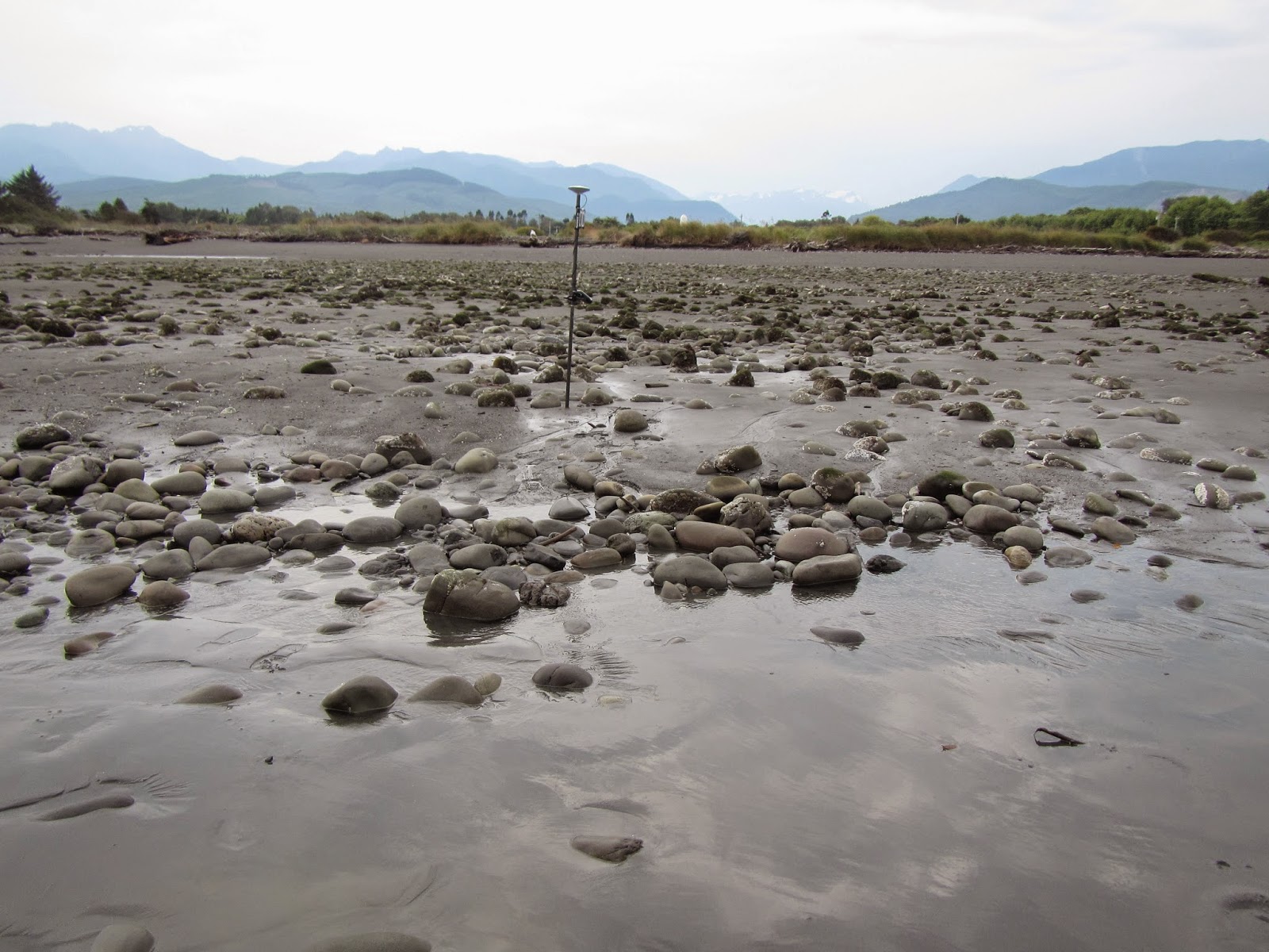
Nuisance flooding in Port Orchard, WA on January 6, 2010. Photo by Ray Garrido, courtesy of Washington Department of Ecology.

NOAA just released a brilliant analysis of patterns of "nuisance flooding" along the US coast. The report analyzes hourly water level records from 45 tide gauges around the country that:

1) have at least 30 years of more-or-less continuous water level data

2) have a "minor flood" elevation threshold defined by the National Weather Service.

The report also defines "nuisance" flooding as coastal water elevations that exceed that "minor flood" elevation as it is set by the National Weather Service, and are typically associated with "minor coastal flooding impacts". So we are talking about stuff like is shown in the photo above from Port Orchard...not just the catastrophic flooding associated with events like Superstorm Sandy or Hurricane Katrina. It turns out that this sort of nuisance flooding, while it doesn't get much media attention, happens all the time:

Average number of days per year with nuisance flooding for 2007-2009 for 45 US tide gauges. Figure 2 from Sweet et al 2014.

In the report they analyzed a variety of different components of flooding, including trends over time (expressed both as cumulative hours of flooding during the year, as well as individual days that flooding occurred), seasonal patterns (i.e. when during the year flooding tends to occur), and the contribution of various factors (astronomic tides, changes in mean sea level and non-tidal residuals) to driving total water levels that result in nuisance flooding. Here is an example for Charleston, SC which, like many east coast sites, has experienced fairly dramatic changes in patterns of nuisance flooding over the last century:

Figure from Appendix 2 of Sweet et al 2014 showing (top left)nuisance flood events (cumulative hours and impacted days) per meteorological year plotted with annual mean sea level, (bottom left) return level interval curves, (top right) maximum water levels (black) per calendar day over the 1980‐2009 period decomposed into a low‐frequency MSL cycle (blue dot), predicted tide (blue; no Sa and Ssa harmonic fits) and nontidal residual (NTR; green), and (bottom right) average nuisance flood events (shared y-axis) by calendar month over 1980‐2009.

I was particularly interested in the fundamental analysis in the upper left, and in particular the cumulative hours of the meteorological year (May of a year to April of the next, so winter is included) during which a minor flood threshold is exceeded. In their analysis only two of Washington's tide gauges were included. Seattle and Toke Point in the mouth of Willapa Bay. Here is Seattle:

A few things jump out - in most cases the rising occurrence of nuisance flooding is related to rising relative sea level, as is seen in the Charleston SC example above, as well as in Seattle. This isn't surprising - rising relative sea level means that the average level of the water is rising relative to the land, so flooding should occur. I was able to replicate their analysis process using data downloaded from NOAA, and also added a 10-year running average of the number of hours per year for which water level exceeded the nuisance flood threshold:

and ran it for Toke Point:

here, over the period of measurement (starting in 1979) there has been little to no systematic trend in relative sea level. Perhaps as a result, there is not clear pattern related to changing nuisance flood frequency.

I found only one other station that included enough hourly data to make this analysis worthwhile - Neah Bay - and applied Seattle's nuisance flood elevation threshold:

here, FALLING relative sea level has apparently resulted in a pattern of falling nuisance flood frequency. You can also start to see an apparent relationship between the average flood frequency (the black line), and annual mean sea level. Here is what it looks like for Seattle when they are plotted together:

This is a potentially useful tool, since it gives us a way to assess how many extra hours of flooding to expect for a given amount of relative sea level rise. I haven't done any formal analysis on this, but loosely it looks like relative sea level rise of about 10 cm leads to maybe about an extra hour of flooding over the course of the year, on average, in Seattle.

Sadly, most other stations in Washington don't have enough available hourly data to make this analysis worthwhile. Here is Port Angeles, for example:

There are a few interesting things here - the high water levels associated with the 1998 El Nino really stand out, but that year didn't see water levels exceeding the nuisance flood threshold. The big year for that was 2005, even though average sea level that year was almost 10 cm lower than in 1998. This is probably because of the importance of other factorss, including chance, in driving flooding in our area. Our large tidal ranges and complex tidal signal mean that a variety of factors have to line up to drive water level up into the nuisance flood realm - something along the lines of a big storm with low pressure, aligning with a spring tide period and a high tide. Rising relative sea level in the background really helps to exceed the nuisance flood threshold more frequently. Overall, in this case though, the record really isn't long enough to detect trends given all the variability.

Its also worth nothing that the "nuisance flood" threshold used here is somewhat arbitrary. In the NOAA report its an elevation that the National Weather Service has identified as being associated with "minor coastal flooding impacts". But if your home, or some important piece of infrastructure, is below that threshold, then you would see flooding more frequently then is suggested by this analysis. But the overall patterns should still hold up...